June 11, 2026
Barcelona to Stockholm: From Mediterranean Blue to Nordic Forest
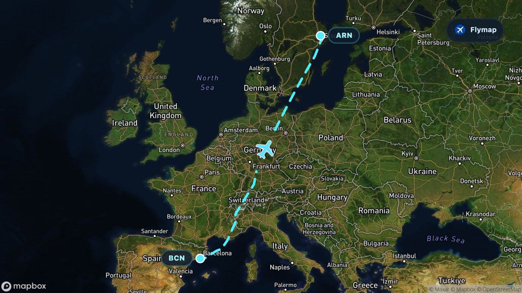
See what you may fly over from Barcelona to Stockholm, including Balearic Sea, Mediterranean Sea, France, Alps and Italy.
Distance
2,522 km
Timing
3h 05m
Countries
6 countries
Barcelona to Stockholm is a route of changing textures: Mediterranean water soon after takeoff, alpine relief across central Europe, then the flatter north and a final sea crossing into Sweden. From the window, it can feel like moving from bright coastal geometry to a cooler northern landscape of plains, islands, forests, and lakes. Flymap helps make that sequence easier to follow by showing the regions below the aircraft as the route unfolds.
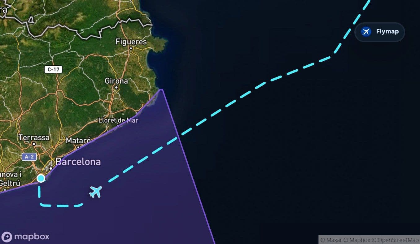
Leaving Barcelona for open water
Soon after departure, the aircraft moves away from the Barcelona area and out over the Balearic Sea. This is a short but clear opening act: city, coast, then blue water.
The broader Mediterranean follows, giving the flight its first wide visual pause. Depending on the side of the aircraft, weather, and the exact track, the view may be mostly open sea rather than a chain of obvious landmarks. That emptiness is part of the geography: the route is already leaving the Iberian edge behind and setting up for a turn into continental Europe.
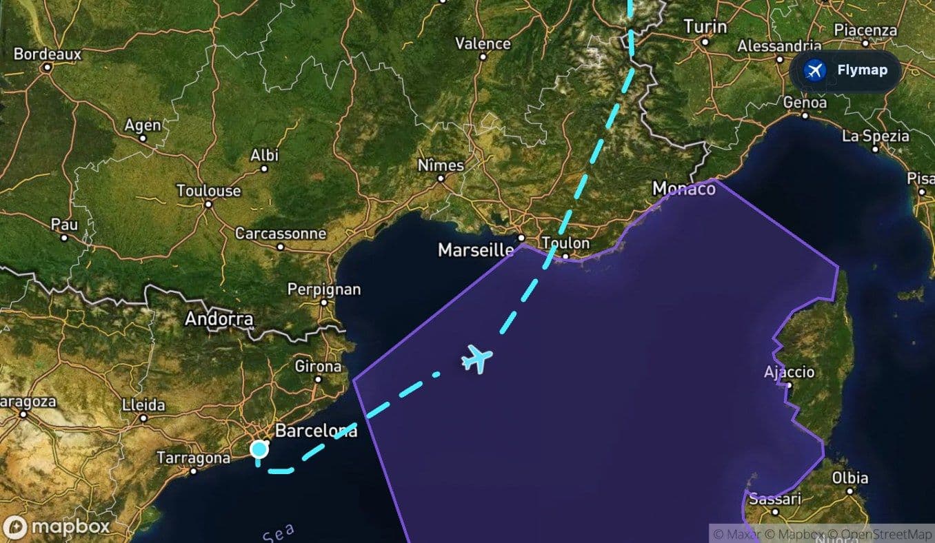
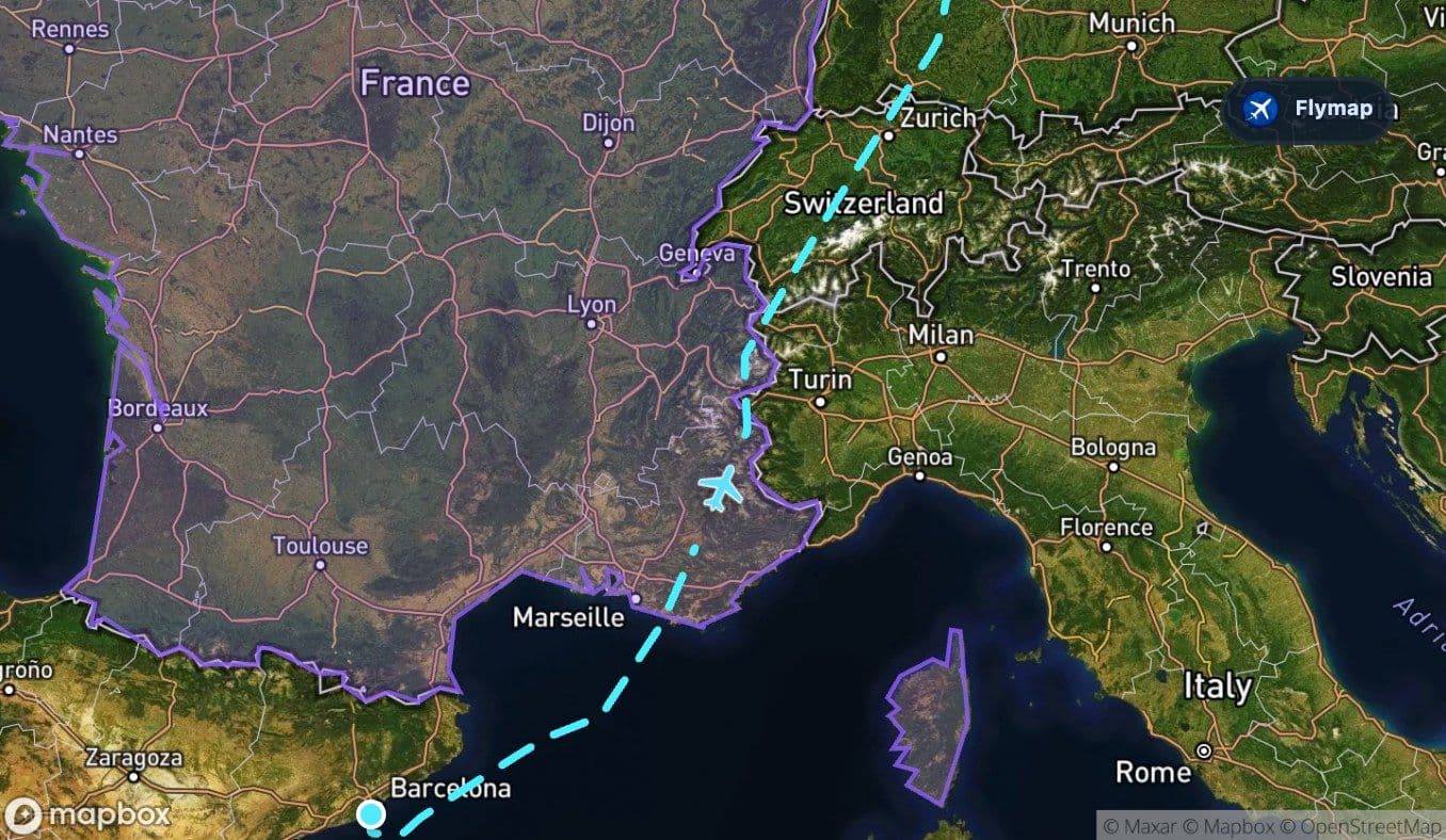
France becomes the first land threshold
After the Mediterranean section, the route reaches France. This part is brief compared with the later crossing of Germany, but it matters because it is the transition from sea to land again.
From above, southern and eastern France can show a mix of coastal influence, river valleys, and rising terrain. The route does not simply slide across a flat map; it begins to climb visually into the more folded landscapes that lead toward the Alps.
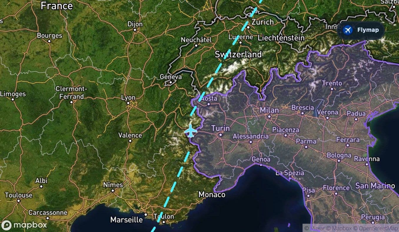
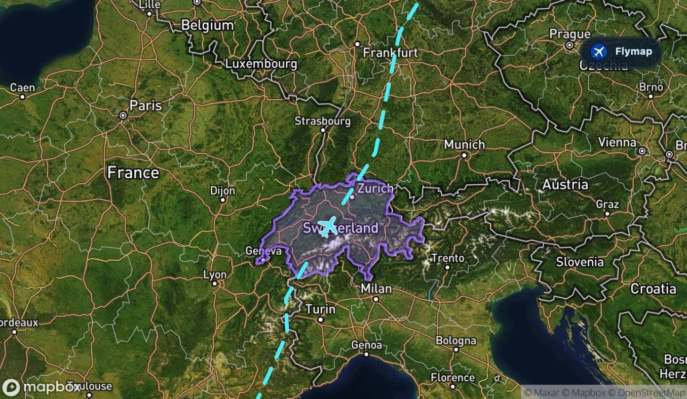
The route’s sharpest contrast: the Alps
The Alps are the most visually dramatic part of this flight. The route spends a meaningful stretch over this mountain system, and the contrast with the Mediterranean opening is striking: blue water gives way to ridges, valleys, high rock, and, in the right season and weather, snow or glacier fields.
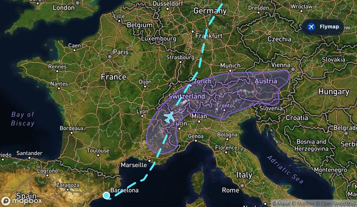
This is also where the route briefly intersects the geography of Italy and Switzerland. The Italian section is short, while Switzerland takes longer and is strongly tied to the alpine landscape below. If skies are clear, this is the part of the flight where a window seat may feel most rewarding.
Watch for broad visual patterns rather than trying to identify every summit:
- long ridge lines running across the view;
- deep valleys cutting through the mountains;
- bright snow patches or glacier-like forms in higher areas;
- lakes and river corridors where the terrain opens.
On this route, the Alps are not just a landmark. They are the turning point between the Mediterranean south and the long northern crossing ahead.
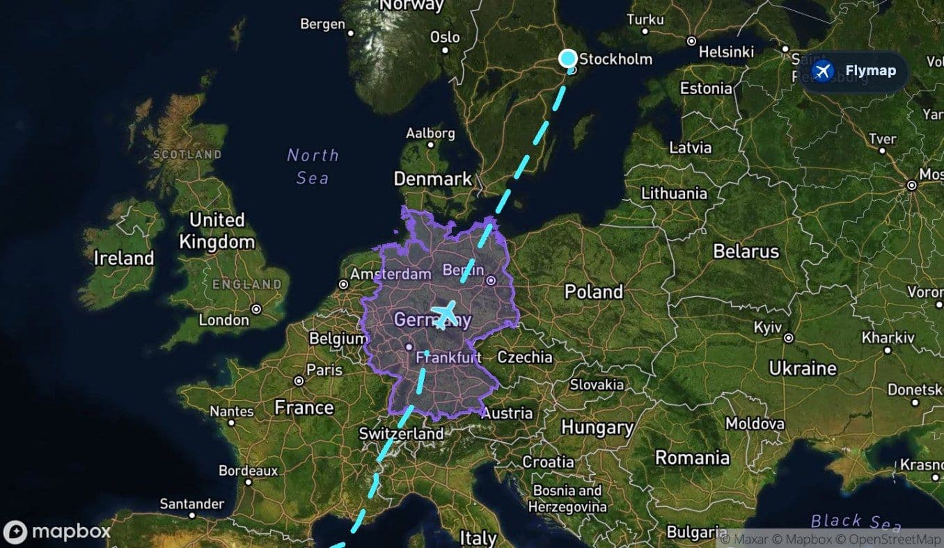
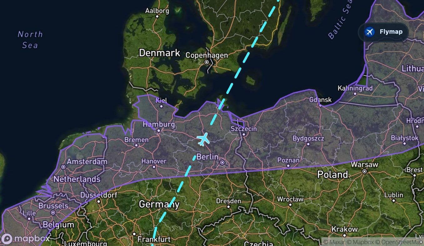
Germany: from uplands to a wider northern plain
After the Alps and Switzerland, the route enters Germany for the longest country crossing of the flight. The landscape changes again: less extreme than the Alps, but not instantly flat.
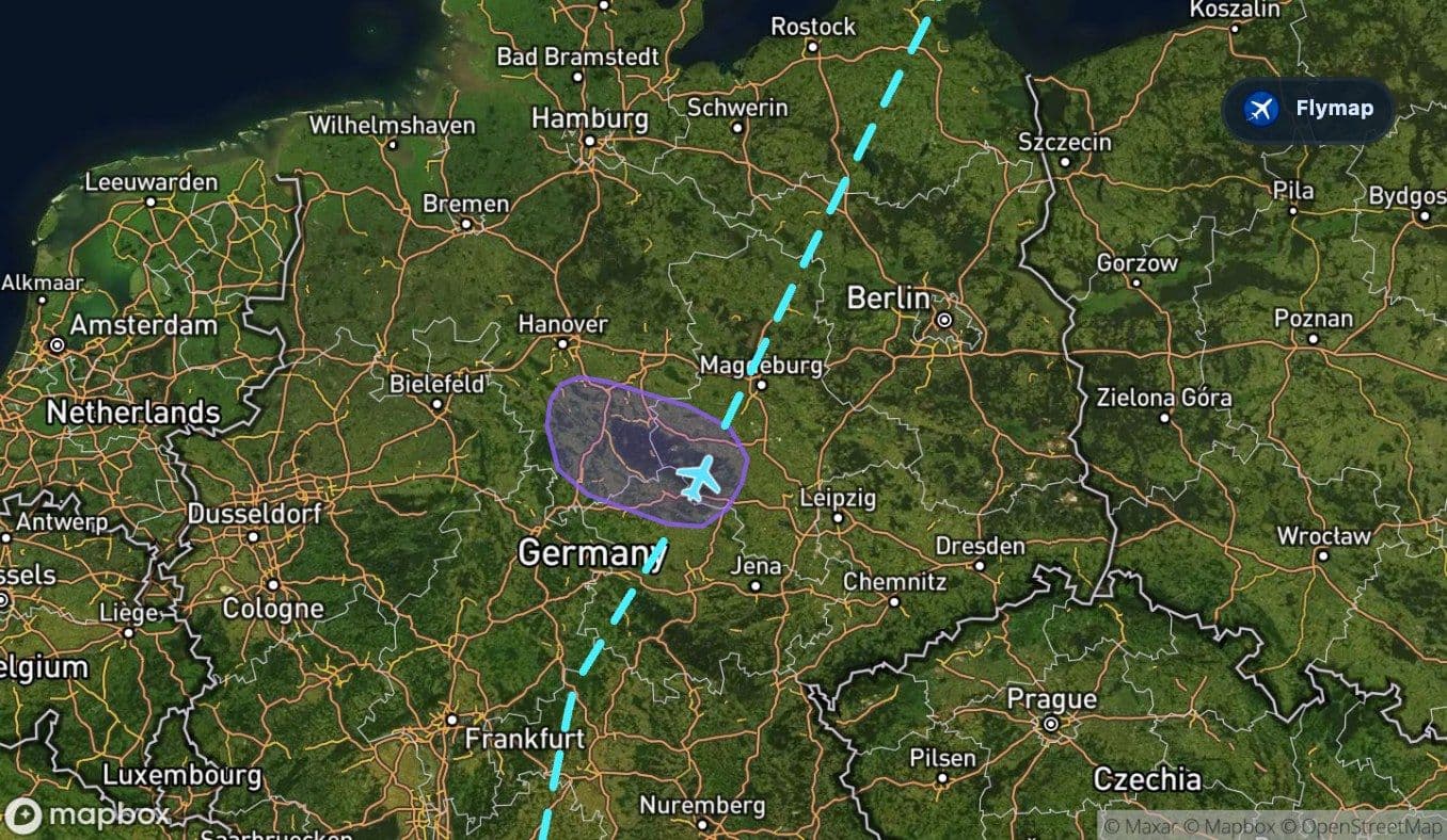
Germany brings a layered middle section of forests, towns, fields, and uplands. The Harz Mountains appear as a smaller mountain range compared with the Alps, but they are still useful as a visual marker: a raised, forested upland standing above surrounding lower country.
Farther north, the route reaches the North European Plain. This is where the flight’s texture becomes broader and flatter. The view may show large agricultural patterns, straighter lines, patches of forest, and a sense that the aircraft has left the high relief of central Europe behind.
The Baltic Sea resets the view
The Baltic Sea is the next major threshold. After the long land crossing, the aircraft moves out over northern water again, but this is a very different sea from the Mediterranean at the start.
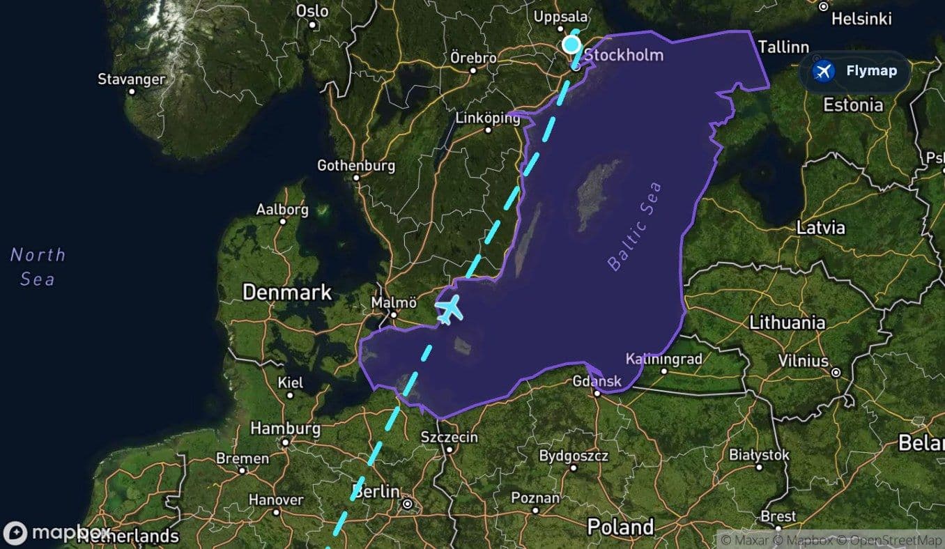
The Baltic is described in the route data as a shallow, enclosed northern sea, bordered by low coasts, islands, and river-fed inlets. From the passenger window, that can mean a quieter, more broken edge: coastlines, islands, and darker northern water rather than the open Mediterranean impression from earlier in the flight.
This is also the section where island geography becomes more relevant. The route data includes Baltic islands among nearby points of interest, including Gotland, Bornholm, Rügen, Öland, and others. Not every one will be visible from every seat or track, but the general island-and-sea pattern is part of the route’s final character.
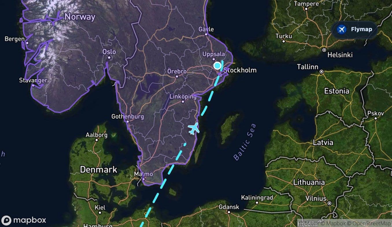
Sweden and the approach into Scandinavia
Entering Sweden gives the route its final landscape identity. The route overlaps with Scandinavia as a broader peninsula region, but for the passenger the immediate impression is Swedish: forests, lakes, lowland patterns, and coastal waters leading toward the Stockholm area.
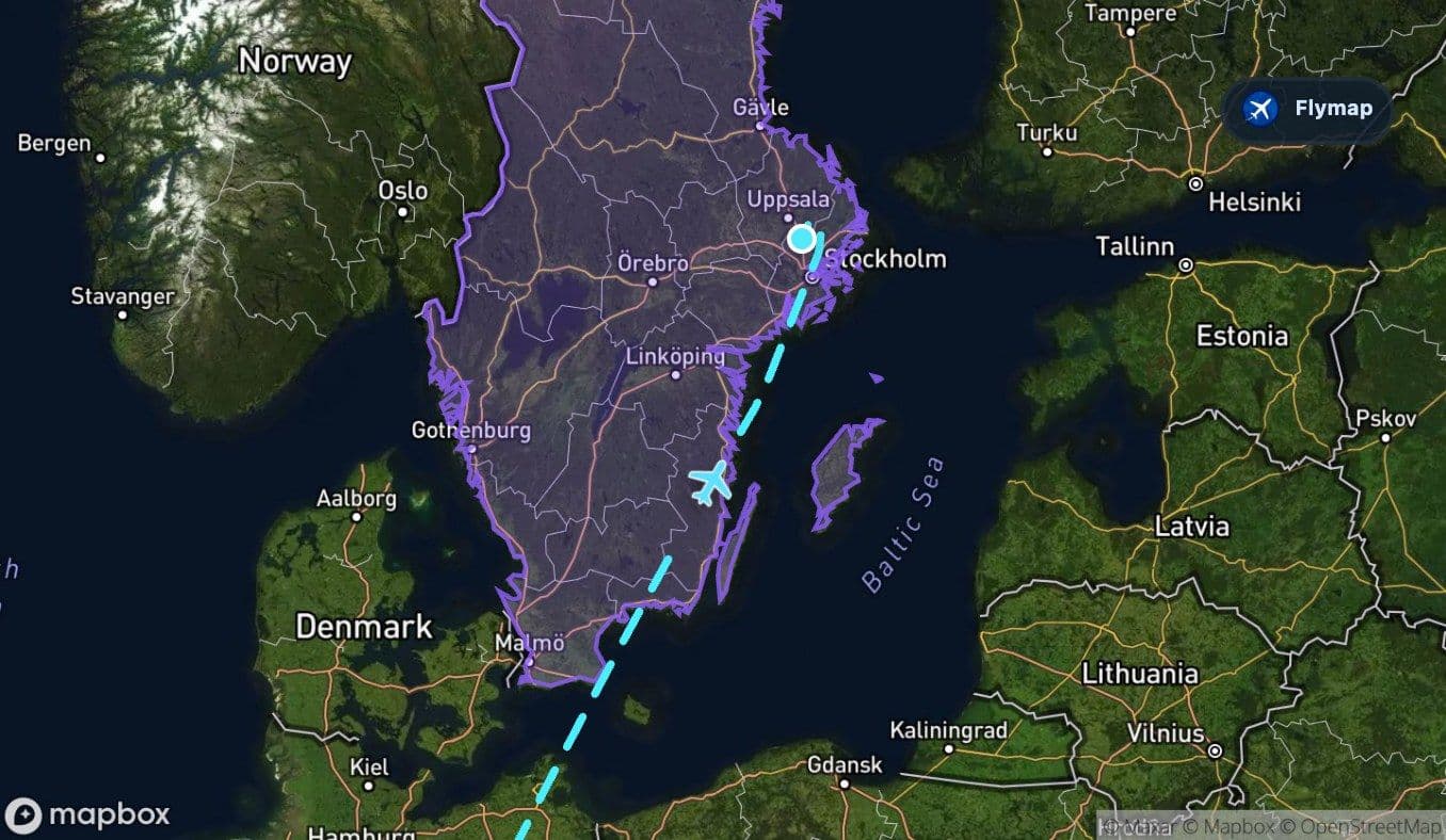
This is a softer arrival landscape than the Alps, but it has its own visual rhythm. Instead of dramatic peaks, the view may break into dark forest blocks, pale lakes, and scattered settlements. Near Stockholm, islands and water are part of the region’s character, although exact visibility depends heavily on approach direction and cloud cover.
What makes this route satisfying from the window
The appeal of this flight is not one single landmark. It is the sequence. The route starts with the Mediterranean, crosses one of Europe’s great mountain systems, runs over Germany’s long land bridge, then finishes with the Baltic and Sweden.
That makes it especially good for passengers who like to understand changing geography rather than simply spot cities. In Flymap, this kind of route becomes easier to read because the app can connect the view outside the window with the larger regions underneath: sea, mountains, plains, another sea, then Scandinavia.
Route summary
- The flight begins with a quick move from Barcelona’s coast over the Balearic and Mediterranean seas.
- The Alps are the strongest visual highlight, with a major contrast between sea-level openness and high mountain terrain.
- Germany forms the longest land crossing, moving from varied uplands toward the North European Plain.
- The Baltic Sea is the final large water crossing before Sweden.
- The approach to Stockholm brings a Nordic landscape of forests, lakes, coastal waters, and Scandinavian terrain.
*Data based on a historical route track for FR3076.
Route Gallery (12 images)
Download this or any other flight map in Flymap app
Open Flymap on your phone for app-store download links and offline-ready flight maps.
Flymap app