June 11, 2026
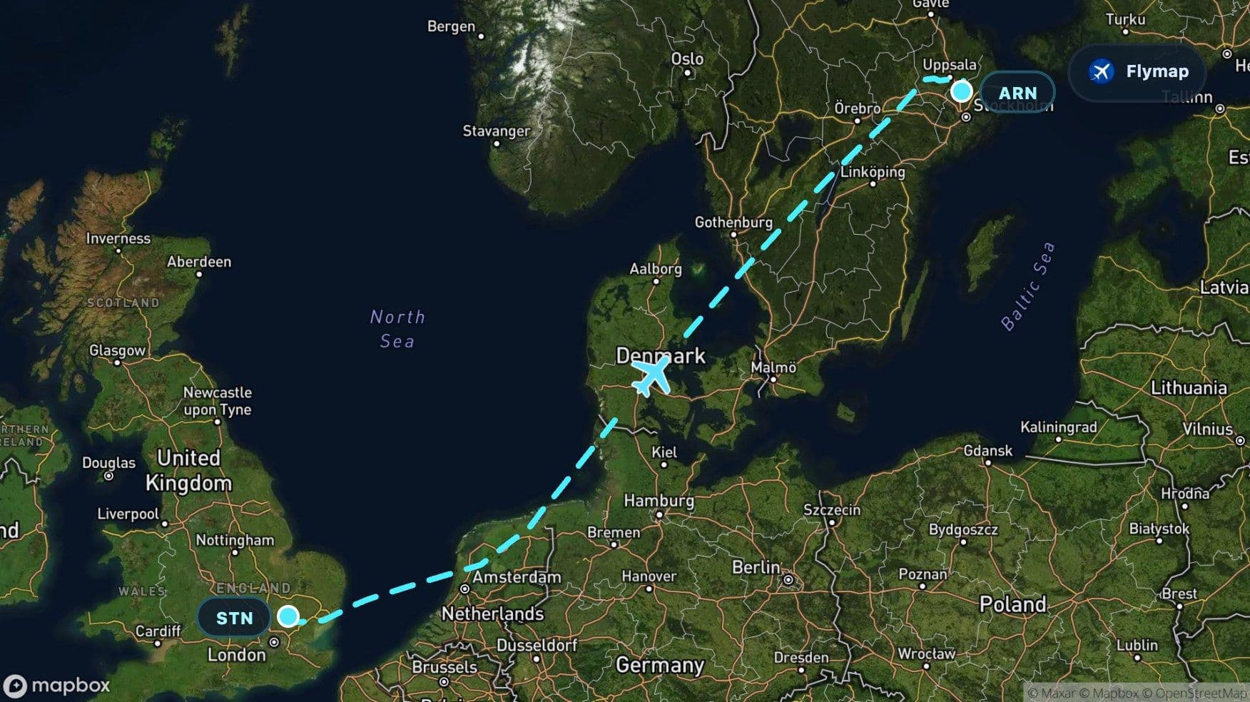
London Stansted to Stockholm: Over the North Sea to Sweden’s Lakes
See what you may fly over from London to Stockholm, including United Kingdom, British Isles, Great Britain, North Sea and Netherlands.
Distance
1,528 km
Timing
1h 55m
Countries
4 countries
This flight from London Stansted to Stockholm is a route of water, lowlands, and northern lakes. It begins over the edge of Great Britain, crosses the North Sea, brushes the flat coastal geography of the Netherlands and Denmark, then enters Sweden through a landscape that feels increasingly Scandinavian: darker forests, long lakes, and broad inland spaces. Flymap helps turn that changing view into a readable sequence of regions below the aircraft.
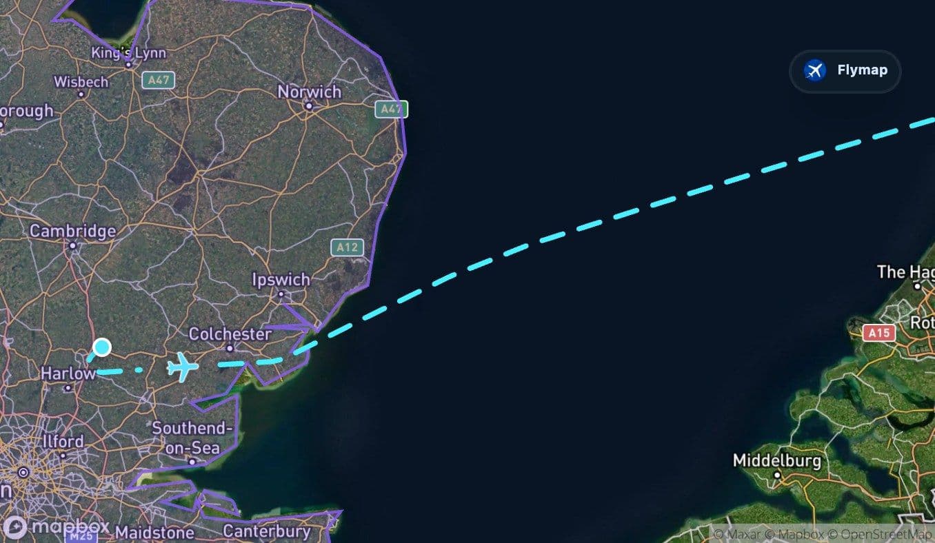
From eastern England to the edge of the island
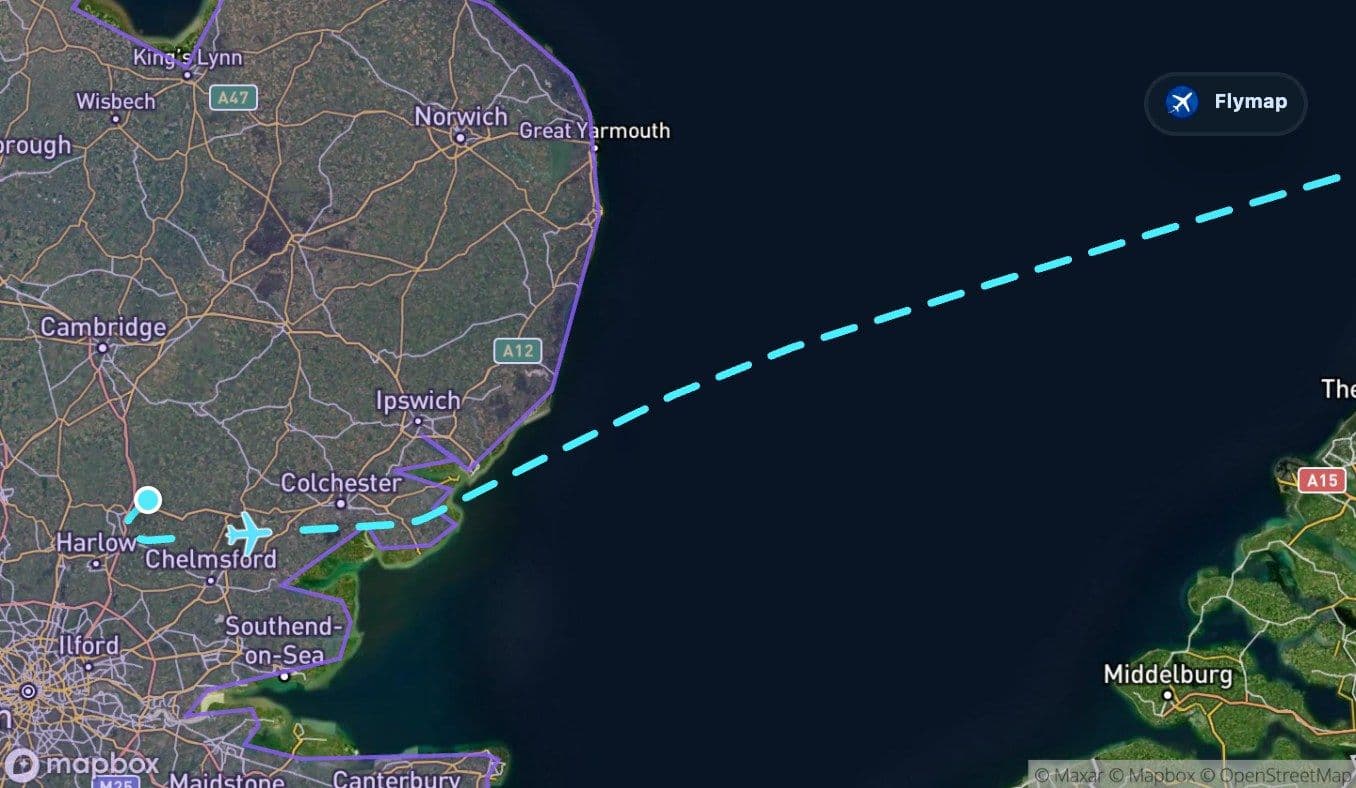
The departure side is brief but meaningful. The route starts in the United Kingdom, within the broader British Isles and on the island of Great Britain, before quickly moving out toward the coast.
From the window, the first minutes may show the patchwork of eastern England: fields, towns, roads, and low relief. Because this is a relatively short international route, the shift from land to sea comes quickly. The aircraft does not spend long over Britain before the North Sea takes over the view.
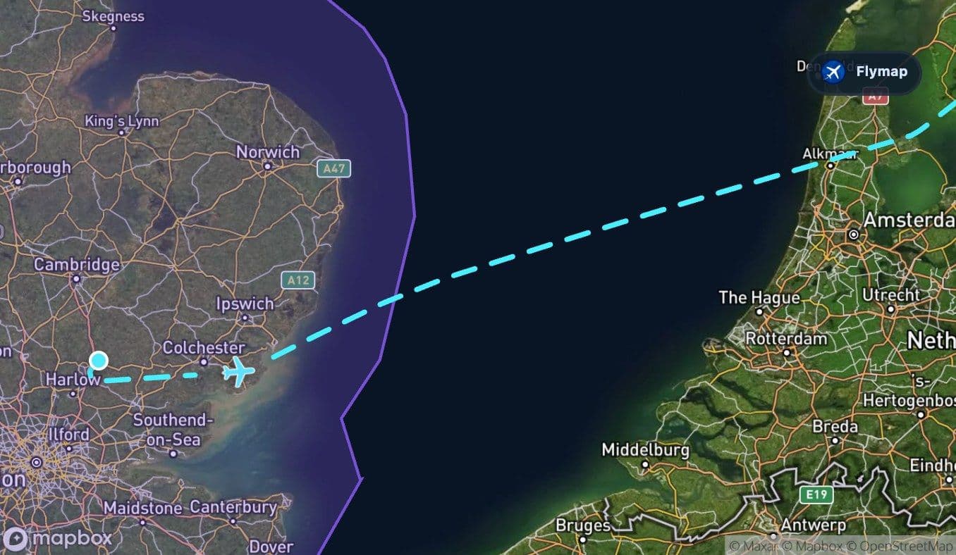
The North Sea becomes the first big crossing
The North Sea is the route’s first major visual threshold. After the structure of roads, fields, and settlements below, the window view can become a wide, muted surface of water. The route data describes this as a shallow sea bordered by low coasts and islands, with strong tides and links to the Atlantic.
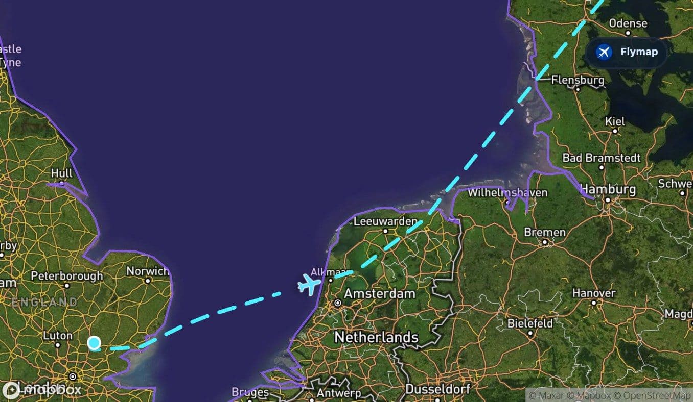
For passengers, that means this part may look simple at first: mostly sea. But it is also the section that explains the geography of the route. London and Stockholm are not connected by one continuous land corridor; the flight first has to cross the maritime space between Britain and continental northern Europe.
If visibility is good, the most interesting things to watch for are not mountains or cities, but edges:
- the last broken line of the British coast;
- cloud shadows moving over open water;
- offshore patterns or ships, if conditions allow;
- the approach toward the low coasts of the Netherlands and the wider North European Plain.
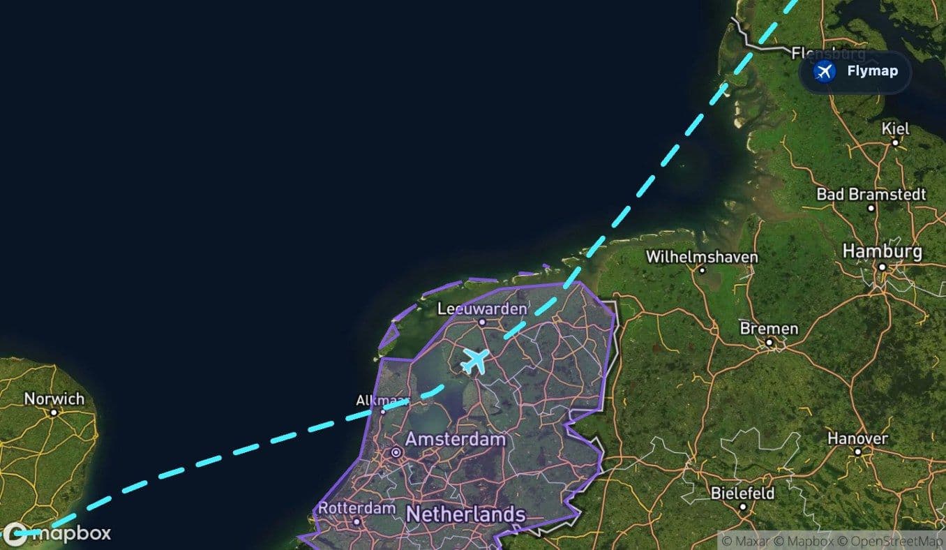
Low countries, flat land, and barrier islands
After the North Sea, the route reaches the Netherlands and the North European Plain. This is a very different kind of landscape from the sea crossing: low, flat, and heavily shaped by water.
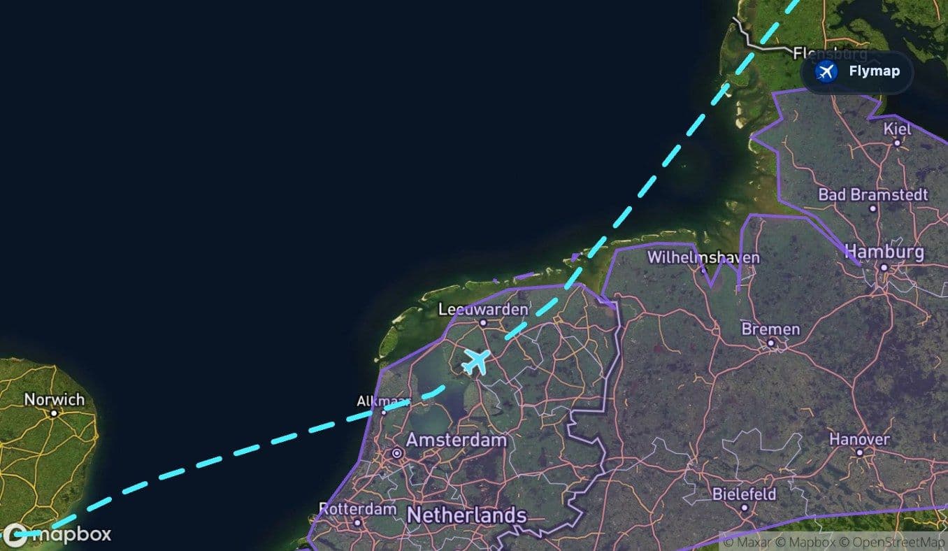
The Netherlands section is relatively short, but it is one of the clearest geographic contrasts on the route. The land sits low and coastal, with rivers, deltas, reclaimed areas, and large water bodies among the nearby points of interest. From above, it may appear as an ordered landscape of lines, fields, coast, and water management.
Soon after, the route meets the Frisian Islands, a chain of barrier islands along the North Sea coast. This is a brief section, but it can be visually distinctive if the sky is clear: narrow islands, tidal flats, and the meeting point between open water and protected mainland.
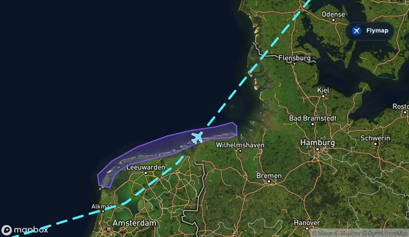
On this route, the flat coasts are not empty space. They are part of the story: land and sea constantly reshaping each other.
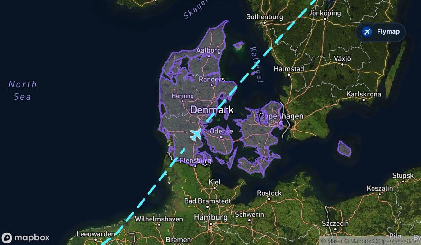
Denmark: islands, farmland, and northern water
Denmark brings the next transition. The route crosses a low-lying country positioned between the North Sea and Baltic region, where flat farmland and islands define much of the geography.
This section is not about dramatic altitude changes. Instead, the visual interest comes from fragmentation: land, coast, sea, and islands close together. The route data also includes an unnamed sea region after Denmark. Because that region is broad and not publicly descriptive, it is better to treat it simply as a short sea section between named parts of the route rather than as a precise landmark.
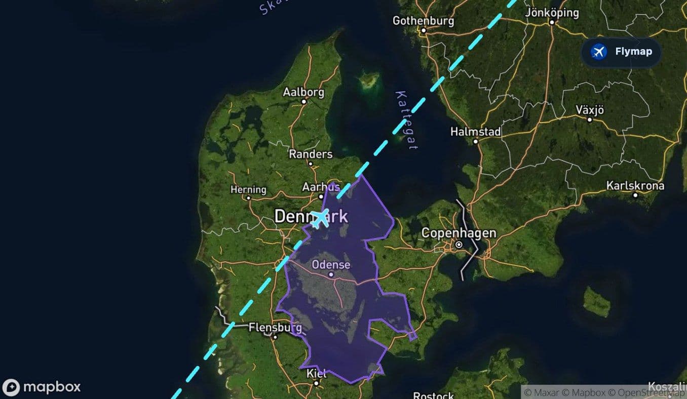
Kattegat: the final sea before Sweden
Kattegat is the second named sea crossing and the last big water threshold before Sweden. It lies between Denmark and Sweden, so the route’s geography narrows from the wider North Sea into a more enclosed northern waterway.
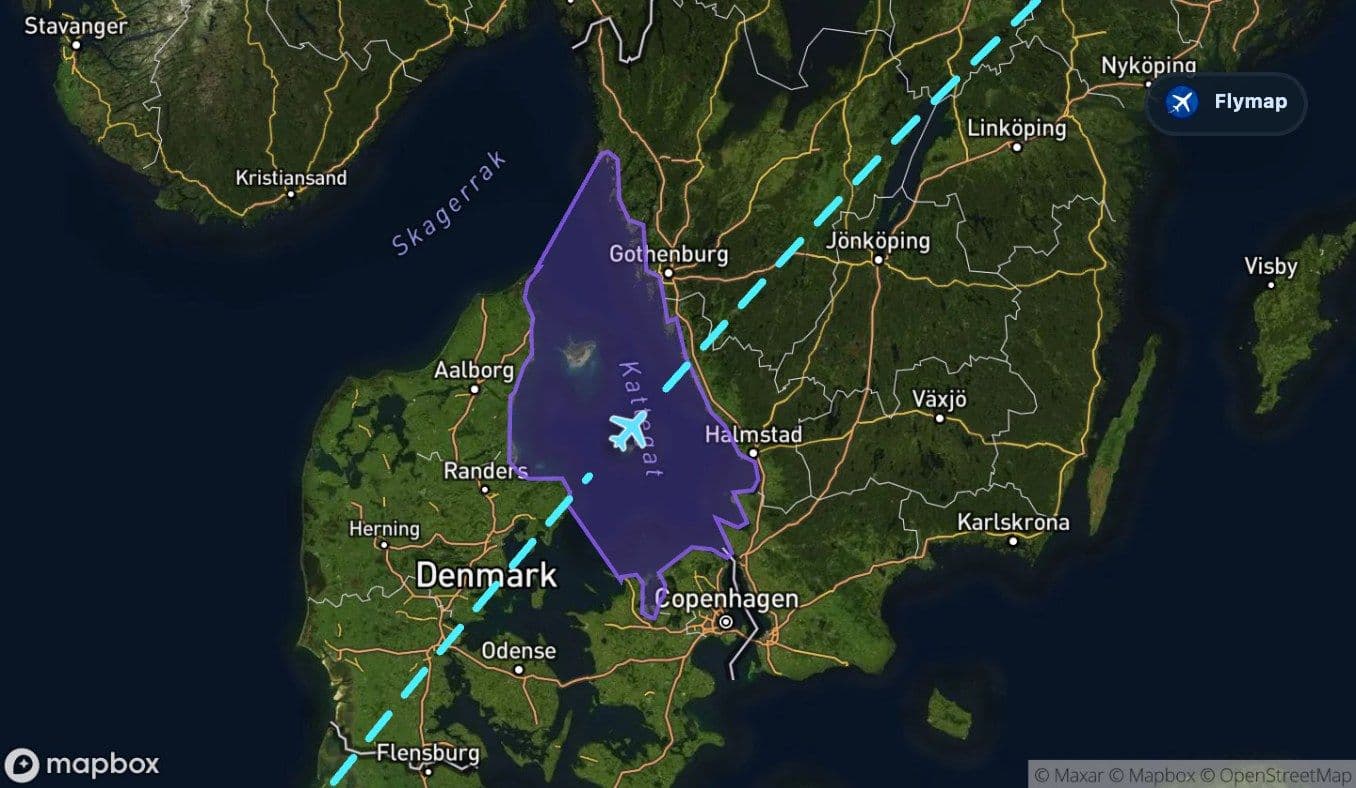
From the aircraft, this can feel like a reset: after Denmark’s low land and islands, the view opens to water again, then prepares for the Swedish mainland. The crossing is shorter than the North Sea section, but it has a strong sense of arrival because Sweden follows immediately after it.
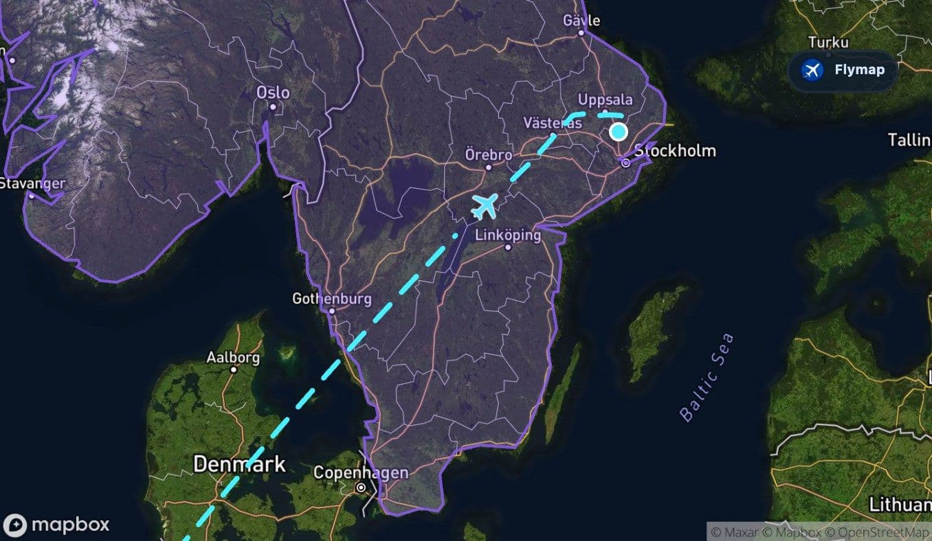
Sweden: lakes replace the sea
Once the aircraft enters Sweden, the route changes character again. The sea is behind you, but water remains central to the view. Sweden’s interior is described here as a landscape dominated by forests and lakes, and this flight captures that well.
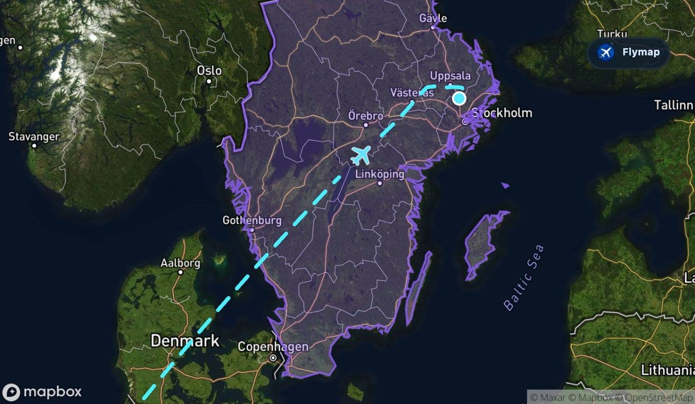
One of the clearest inland landmarks on the route is Vättern, a long, narrow lake carved by glaciers. The aircraft only spends a short time over the lake, but its shape can stand out from above: a long blue basin set between forested ridges and southern Swedish terrain.
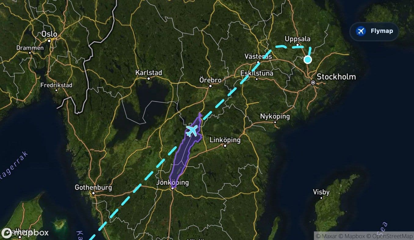
After Vättern, the route continues across Sweden and the broader Scandinavian peninsula toward Stockholm-Arlanda. The final stretch may show a pattern of lakes, forests, towns, and waterways rather than a single dominant feature. Near Stockholm, the landscape becomes more urban and water-linked, with islands and lakes forming part of the region’s identity.
Why this route is rewarding from the window
This is not a mountain route. Its appeal is in the sequence of northern European thresholds: island to sea, sea to flat coast, coast to islands, waterway to forested Sweden.
That makes it a good route for passengers who enjoy noticing subtle geographic changes. The North Sea and Kattegat provide the big water crossings, while the Netherlands, Denmark, and Sweden show how lowlands, islands, lakes, and forests fit together across northern Europe. In Flymap, those changes become easier to follow because the app labels the regions underneath as the flight progresses.
Route summary
- The flight leaves eastern England quickly and crosses the North Sea early in the journey.
- The Netherlands and the North European Plain bring a low, water-shaped coastal landscape.
- The Frisian Islands offer a brief but distinctive barrier-island section along the North Sea edge.
- Denmark and Kattegat form the transition from continental lowlands to Sweden.
- The Swedish section features forests, lakes, Scandinavia, and the notable inland landmark of Lake Vättern.
*Data based on a historical route track for FR1401.
Route Gallery (13 images)
Download this or any other flight map in Flymap app
Open Flymap on your phone for app-store download links and offline-ready flight maps.
Flymap app