June 13, 2026
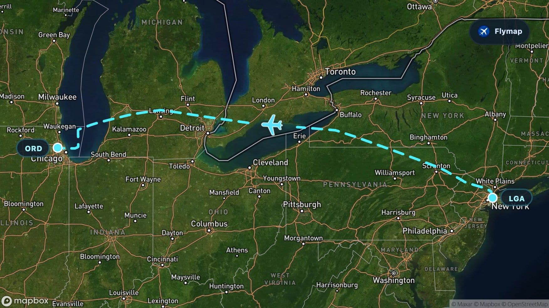
New York to Chicago: Atlantic Islands to Great Lakes
See what you may fly over from LaGuardia to Chicago O'Hare, including New York, New Jersey, Appalachian Mountains, Pennsylvania and Allegheny Plateau.
Distance
1,267 km
Timing
2h 00m
Countries
1 country
This flight begins in the tight geography of New York: islands, rivers, shorelines, airports, bridges, and city grids packed into a small space. By the time it approaches Chicago, the view has changed into something much broader: Great Lakes water, lowlands, Michigan terrain, and the wide urban spread around Lake Michigan.
That contrast is the route’s main story. Flymap helps make sense of the change below the aircraft, especially on a flight where the scenery moves from coastal complexity to mountains, lakes, and the Midwest in under two hours.
Leaving the island city
Departing from LaGuardia puts the aircraft close to some of the most recognizable geography in the United States. Long Island is the big landform nearby, with New York City’s dense urban texture sitting beside bays, inlets, and river channels.
Depending on the departure path, passengers may catch glimpses of the East River area, Long Island, or the broader New York Harbor region. Places such as Roosevelt Island, Rikers Island, Liberty Island, and Ellis Island belong to the wider landscape around this departure, though exact visibility depends heavily on the aircraft’s turn, window side, weather, and altitude.
The first impression is rarely empty space. It is a layered view: water, city, airport, island, suburb, and coast all at once.
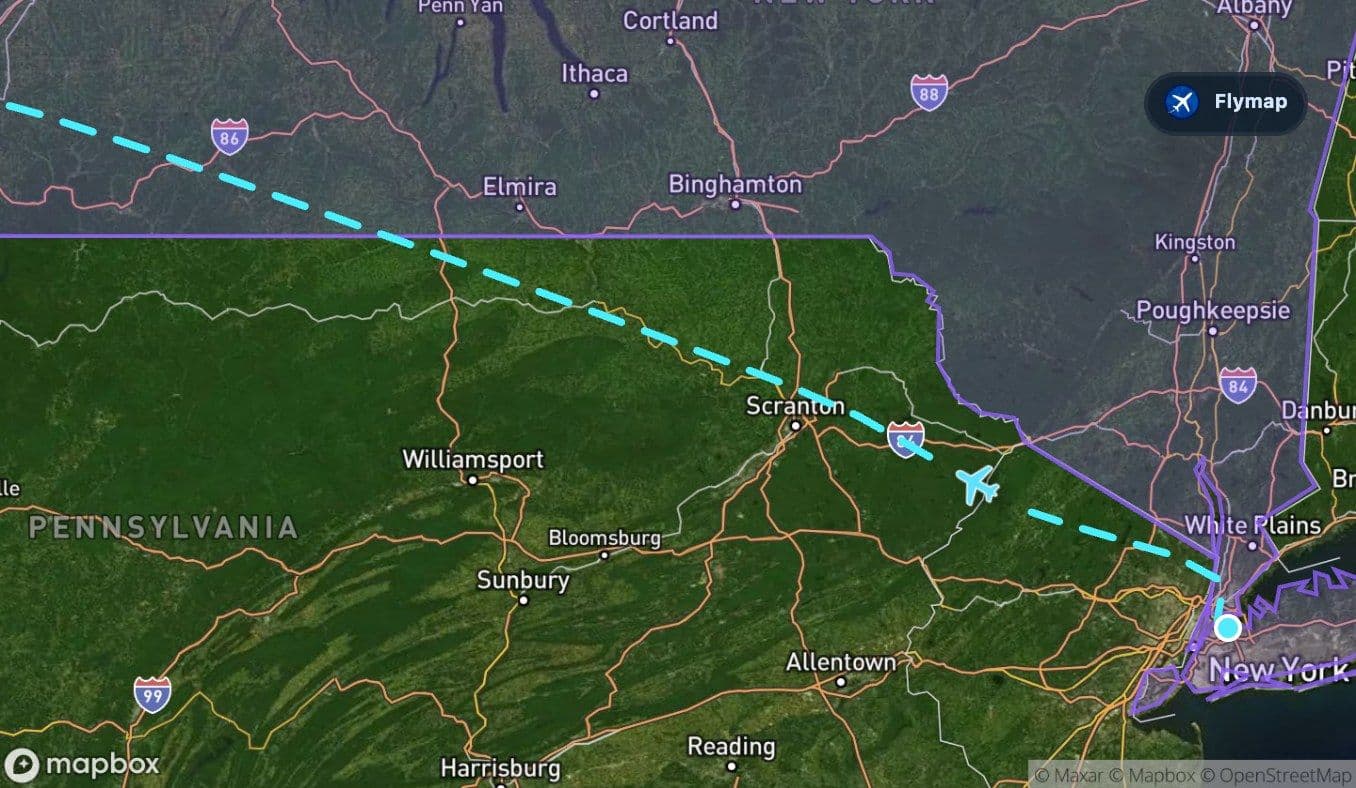
A fast threshold into the Appalachians
The route soon turns away from the Atlantic-side cityscape and enters a very different region. The Appalachian Mountains arrive early, giving the flight its first strong visual transition.
From the window, the Appalachians are not jagged in the way younger mountain ranges can be. They are older, rounder, and more worn down. Their beauty is in the pattern: long ridges, wooded slopes, and valleys that seem to guide roads, rivers, and towns through the terrain.
This is the section where the flight stops feeling coastal and starts feeling inland. If cloud cover is low, the mountains may appear only in fragments. On a clear day, though, their repeated folds can be one of the most readable features of the whole journey.
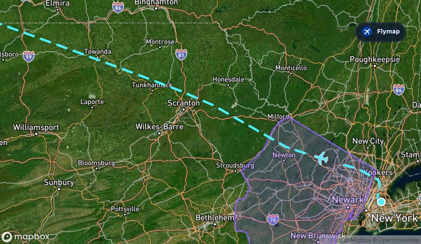
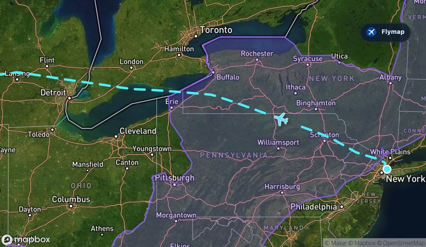
Pennsylvania and the raised middle ground
As the flight continues west, Pennsylvania and the Allegheny Plateau shape the middle part of the route. The plateau is broad rather than sharply mountainous, so the view can feel like a high, carved surface instead of a single line of peaks.
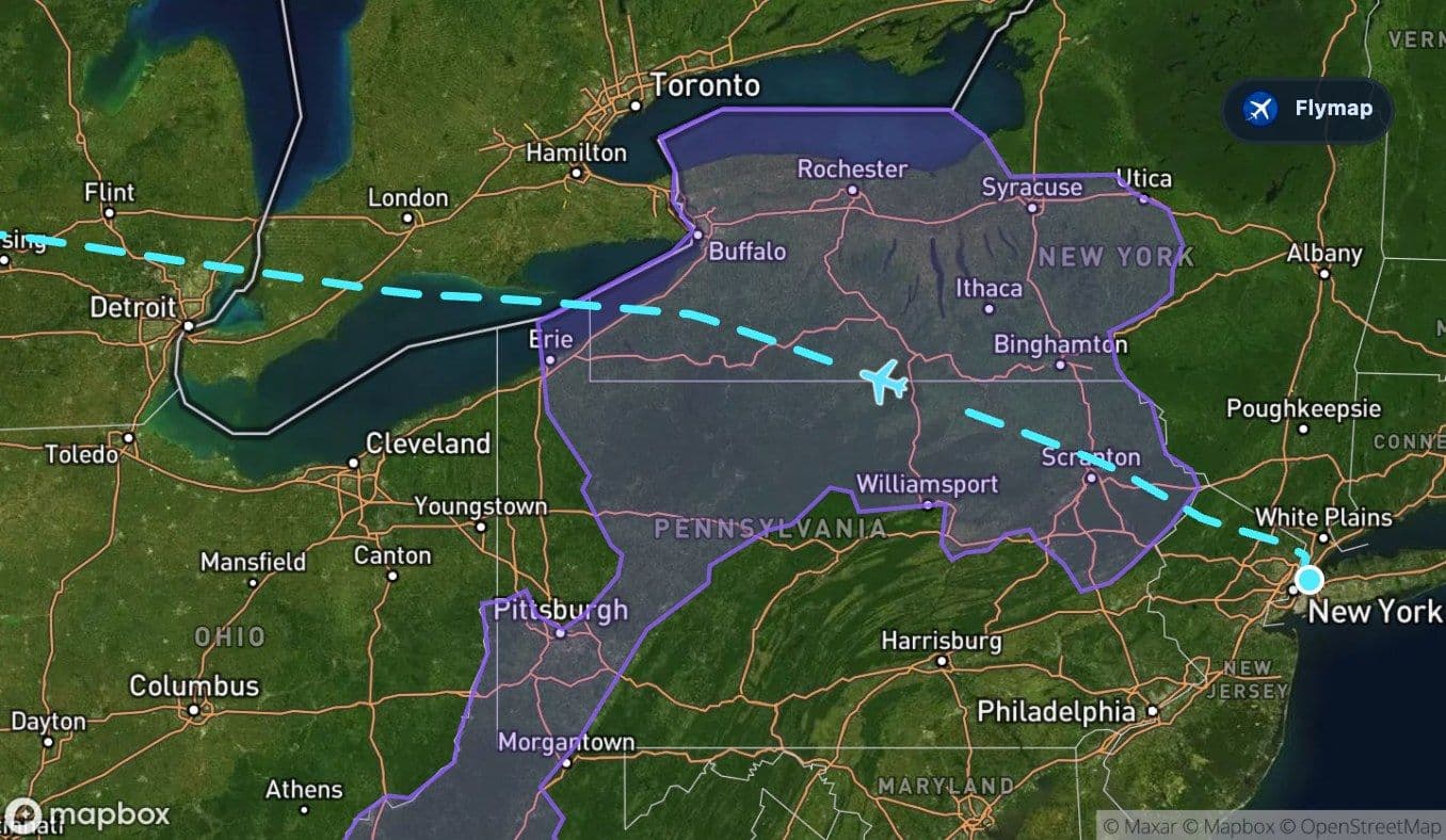
Look for a landscape of uplands and river valleys. The texture is less urban than the departure and less flat than the approach side of the route. It is a transition zone: the aircraft is leaving the eastern mountain system but has not yet fully reached the open lowlands.
A few window-seat clues help tell this part apart:
- ridges and valleys still create visible direction in the terrain
- forests remain prominent compared with later farmland and settlement patterns
- rivers cut through the uplands instead of flowing across very flat ground
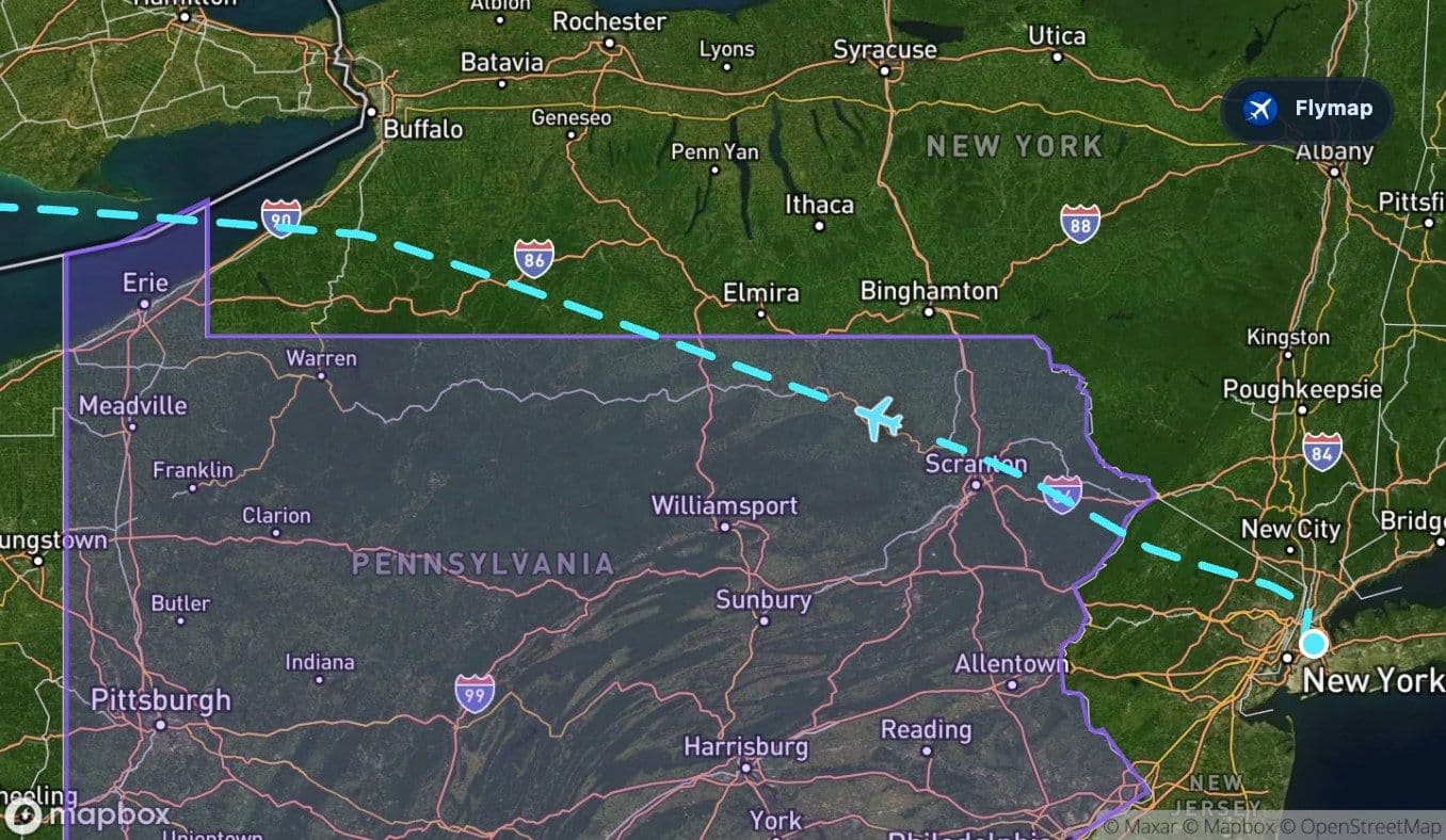
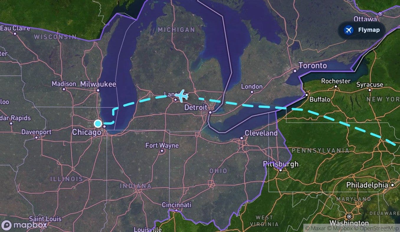
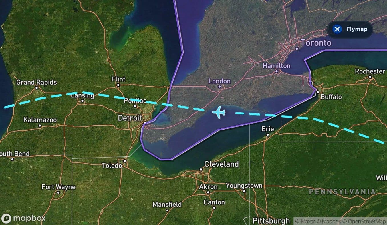
Lake Erie changes the scale
Then the route reaches a new kind of landscape: Lake Erie. After mountains and plateau, the sudden appearance of broad open water can feel like a reset. The view changes from textured land to a wide freshwater surface.
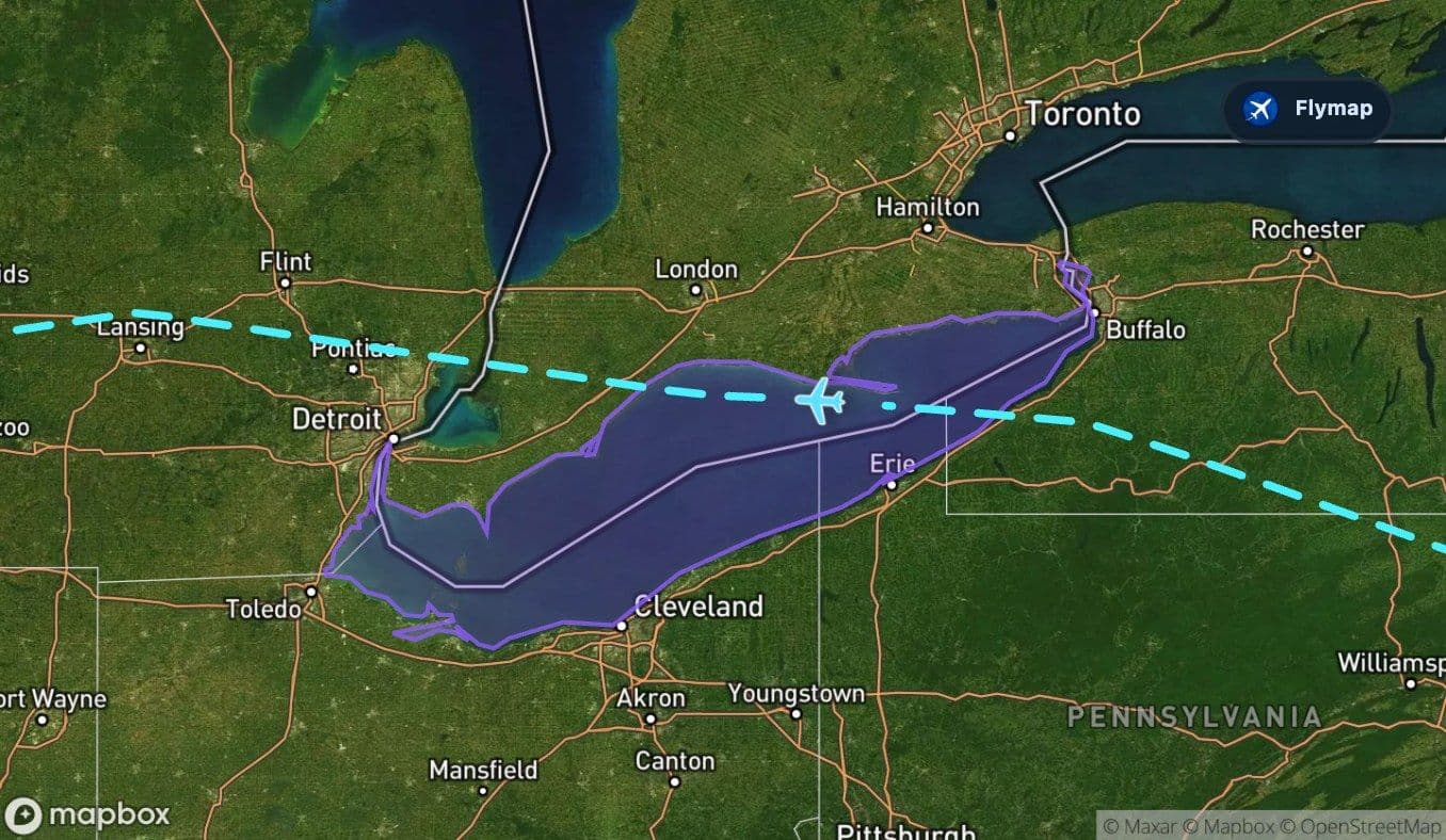
Lake Erie is part of the Great Lakes system, and from above it can look more like an inland sea than a typical lake. The route’s passage over or near this region also brings Ontario into the broader track, with lakes, plains, and glacially shaped landscapes forming part of the view beyond the water.
The route’s biggest visual contrast is not simply New York versus Chicago. It is compact Atlantic-side geography giving way to the vast freshwater world of the Great Lakes.
Lowlands, Michigan, and a flatter rhythm
After Lake Erie, the route enters the Central Lowlands, a vast plain region that continues through much of the second half of the journey. The visual rhythm changes again: fewer long mountain ridges, more open terrain, more regular settlement patterns, and broader river valleys.
Michigan occupies a substantial section of this route. From above, this region can show a mix of forests, rolling ground, towns, rivers, and lake-shaped geography. Detroit, Lansing, Ann Arbor, Kalamazoo, and the St. Joseph River are all part of the wider set of places associated with the route, though a passenger’s actual view depends on the exact track and cloud cover.
The transition is quieter than the jump from city to mountains or plateau to lake, but it matters. It is the moment when the flight fully feels Midwestern.
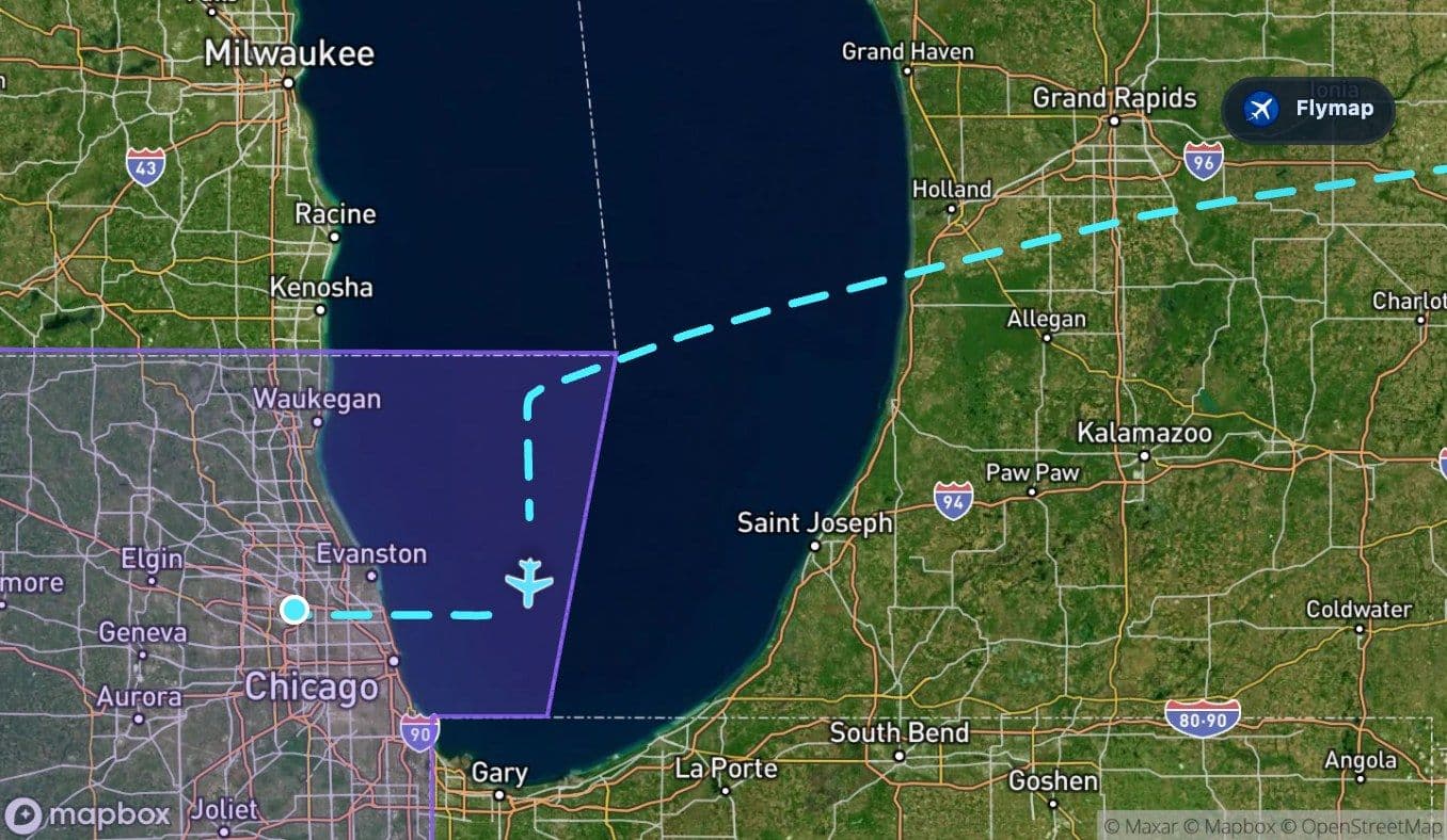
Lake Michigan before Chicago
Near the end, Lake Michigan becomes the second major water feature. If Lake Erie introduced the Great Lakes world, Lake Michigan confirms it just before Chicago.
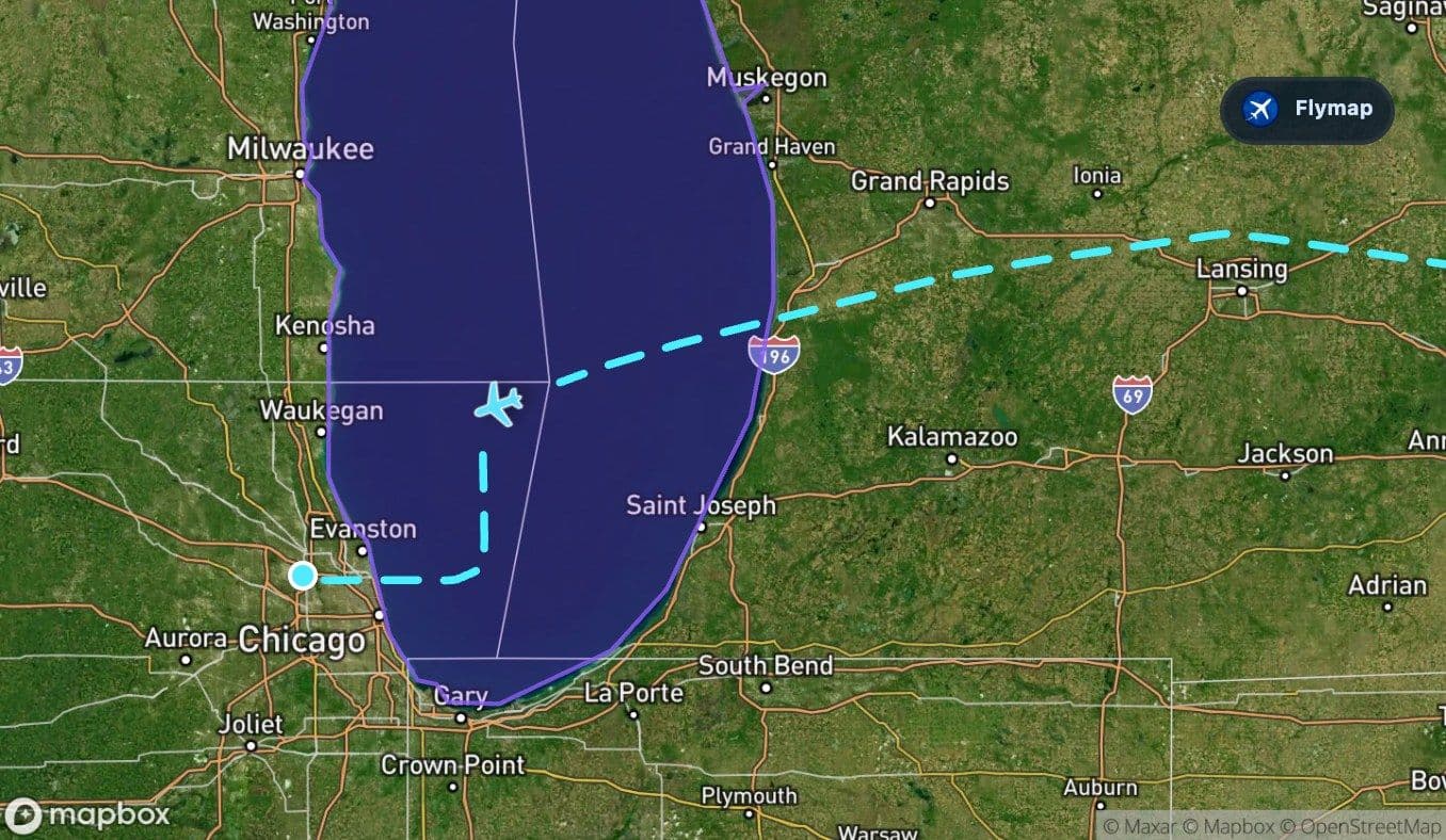
The lake’s scale is a strong visual anchor. Its shoreline, dunes, industrial edges, and nearby cities can help passengers orient themselves as the aircraft approaches the Chicago region. Indiana Dunes National Park, Gary, and the southern Lake Michigan shoreline belong to this late-flight landscape.
Then the view tightens again. The broad lake and lowlands give way to suburban grids, transport corridors, and the airport geometry of O’Hare. The arrival is urban like the departure, but the setting is different: not an Atlantic island city, but a Great Lakes metropolis.
Route summary
- The route runs from New York LaGuardia to Chicago O’Hare across the northeastern and Great Lakes regions of the United States.
- It begins with dense coastal and island geography around New York and Long Island.
- The early-middle section crosses the Appalachian Mountains and the Allegheny Plateau.
- Lake Erie creates the first major freshwater landmark before the route continues across lowlands and Michigan.
- Lake Michigan provides the final geographic highlight before the approach into Chicago.
*Data based on a historical route track for DL1305.
Route Gallery (11 images)
Download this or any other flight map in Flymap app
Open Flymap on your phone for app-store download links and offline-ready flight maps.
Flymap app