Flymap guide
Can you use Google Maps on a plane?
Sort of — but you won’t enjoy it. GPS still works in Airplane mode, so Google Maps can place its blue dot correctly. The problem is everything around the dot: map tiles stream from the internet, so mid-flight you’ll mostly see a blank grey grid with a lonely dot crossing it at 900 km/h.
What happens when you open Google Maps mid-flight
- Position: usually fine. Hold the phone near the window and the GPS dot appears after a minute or two (why GPS works in Airplane mode).
- Map: mostly missing. You may see fragments cached from past browsing, but new areas load as empty tiles.
- Context: none. Even where tiles exist, Google Maps is built for streets — it won’t tell you that ridge is the Jura or that lake is Geneva.
Making it semi-work: offline areas
Google Maps lets you download offline areas by dragging a rectangle. For a flight this has real limits:
- Coverage. One rectangle covers a city region nicely; a 2 000 km flight path needs a chain of large downloads, assembled by hand, often several gigabytes.
- Detail. Offline areas restrict zoom and drop most labels — fine for finding a hotel, useless for identifying a mountain range.
- Purpose. There’s no route, no progress, no timeline, no answer to “what am I flying over?” — it’s a street map, offline.
The flight-first alternative
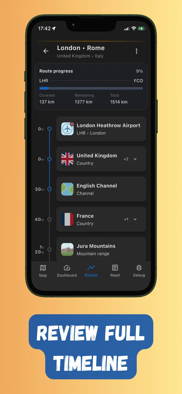
Flymap approaches it from the flight’s point of view: enter departure and arrival, download the whole corridor in one tap (how offline flight maps work), and get terrain-focused maps with named natural features, a “flying over” timeline, POI stories, and a GPS dashboard with speed and altitude — all designed to be used in Airplane mode.
When Google Maps is the right tool
After landing. Download an offline area of your destination city for streets, transit and restaurants — that’s exactly what it’s designed for. Use a flight-specific offline map for the part in between. The two cover different worlds, and together they get you door to door.
Frequently asked questions
Does Google Maps GPS work in airplane mode?
Yes — the GPS receiver keeps working because it doesn't transmit. Google Maps can show your position, but without internet it can't load the map around it unless you downloaded that area in advance.
Why is Google Maps blank during my flight?
Map tiles stream from the internet. In Airplane mode with no connection, tiles for new areas can't load, so you see a grey grid with a blue dot — your GPS is fine, the imagery is missing.
How big are Google Maps offline downloads for a flight?
Covering a full long-haul corridor means chaining many large rectangles, easily several gigabytes. A flight-corridor download in Flymap is typically a few hundred megabytes because it saves only the band along your route.
Try it on your next flight
Get Flymap free on iPhone or Android, download your route before boarding, and see what you fly over — no Wi-Fi needed.


Flymap app
Keep reading
Does GPS work in airplane mode?
Short answer: yes. Why your phone’s GPS keeps working with every radio off, why it’s allowed on planes, and how to actually see yourself on a map.
Offline flight maps: see your whole route without internet
What an offline flight map is, why you should download one before boarding, and how to follow your whole route — no Wi-Fi, no roaming.
How to track your flight without Wi-Fi
Why the famous flight-tracker apps go dark mid-flight, and the offline GPS setup that keeps working from take-off to landing.